Interactive 3D Inca Trail Tour

Explore all 19 stops of the 4-day Inca Trail from Ollantaytambo to Machu Picchu. Scroll the map above to fly through each location, or read the stop guide below.

  • 26 miles (42 km)
  • Elevation 8,089–13,800 ft
  • 4 days · 19 stops
  • GPS-mapped on location

Day 1 — Start the Trek

Ollantaytambo → Camp 1
Piskacucho — Trail Start (km 82)

1. Piskacucho — Trail Start (km 82)

Elevation:~8,700 ft (2,650m)

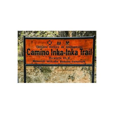
The Inca Trail officially begins at Piskacucho, also known as kilometer 82 — a bridge crossing over the Urubamba River in the Sacred Valley. After checking permits (passport required), hikers cross the bridge and begin the first day's hike along the river. Day 1 is the gentlest day of the trek, following the river valley before climbing to Camp 1.
Read the full Piskacucho guide →

Patallaqta (Llactapata) Ruins

2. Patallaqta (Llactapata) Ruins

Elevation:9,000 ft (2,743m)

Shortly into Day 1, the ruins of Patallaqta (also called Llactapata) come into view across the Cusichaca River valley. This large Inca administrative complex once housed over 100 buildings and served as a staging point for pilgrimages to Machu Picchu. Hikers pass by with views of the site before continuing toward Camp 1.

Read the full Patallaqta guide →

Wayllabamba — Camp 1

3. Wayllabamba — Camp 1

Elevation:9,650 ft (2,941m)

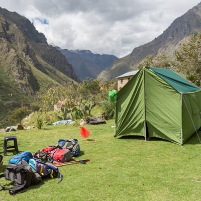
Camp 1 at Wayllabamba marks the end of Day 1 — a moderate 8-mile hike from the start. Set in a forested valley near the small community of Wayllabamba, this is the last campsite with access to fresh water before the ascent to Dead Woman's Pass. Dinner is provided by the trekking crew. Tomorrow's climb to 13,800 ft begins here.

Read the full Camp 1 guide →

Day 2 — The Big Climb

Camp 1 → Dead Woman's Pass → Camp 2
Dead Woman's Pass (Warmiwañusqa) — 13,800 ft

4. Dead Woman's Pass (Warmiwañusqa) — 13,800 ft

Elevation:13,800 ft (4,206m) — Highest point of the trek

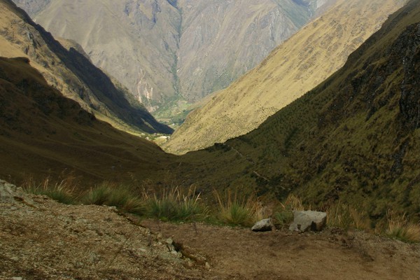
Warmiwañusqa, or Dead Woman's Pass, is the highest point of the entire Inca Trail at 13,800 feet above sea level. Day 2 is the most physically demanding day — a relentless ascent of nearly 4,000 vertical feet from Camp 1 through cloud forest and alpine tundra. The pass is named for the silhouette its ridgeline makes against the sky when viewed from below. From the summit, hikers descend steeply to Camp 2 in the valley below.

Altitude sickness is a real concern at this elevation. Acclimatizing in Cusco for 2–3 days before starting the trek is strongly recommended.

Read the full Dead Woman's Pass guide →

Pakaymayu — Camp 2

5. Pakaymayu — Camp 2

Elevation:11,781 ft (3,590m)

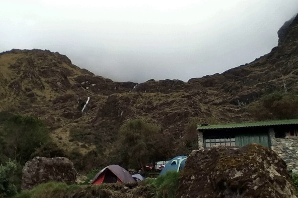
Camp 2 sits in the Pakaymayu valley — "River of Silver" in Quechua. After the brutal descent from Dead Woman's Pass, this campsite offers a well-earned rest. The valley is one of the most scenic on the trail, surrounded by cloud forest and Andean peaks. Day 3 begins here with another pass crossing ahead.

Read the full Camp 2 guide →

Day 3 — Ancient Trails & Hidden Ruins

Camp 2 → Wiñayhuayna
Runkurakay Ruins

6. Runkurakay Ruins

Elevation:~12,000 ft (3,600m)

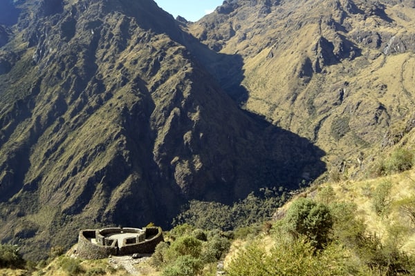
Runkurakay is a circular Inca tambo (waystation) perched above the Pakaymayu valley. Its oval shape is unique among Inca ruins on the trail. The structure served as a rest stop for Inca messengers (chasquis) and pilgrims traveling to Machu Picchu. From here, the trail climbs to the second major pass of the trek.

Read the full Runkurakay guide →

Runkurakay Pass

7. Runkurakay Pass

Elevation:12,936 ft (3,942m) — Second highest pass

The second major pass of the trek at 12,936 feet. Less dramatic than Dead Woman's Pass but still a significant climb, Runkurakay Pass offers sweeping views of the valleys below and the mountain peaks ahead. The descent leads through dense cloud forest toward the ruins of Sayacmarca.

Read the full Runkurakay Pass guide →

Sayacmarca Ruins

8. Sayacmarca Ruins

Elevation:11,852 ft (3,612m)

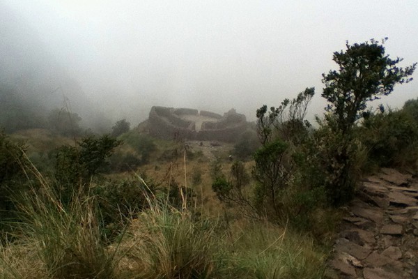
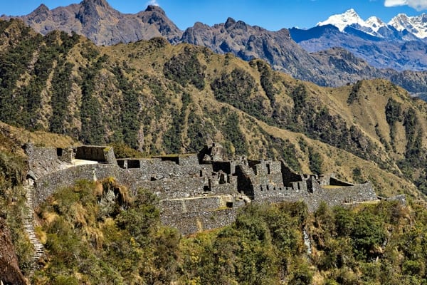
Sayacmarca — "Inaccessible Town" in Quechua — is one of the most dramatically sited ruins on the Inca Trail. Built on a narrow promontory with sheer drops on three sides, the site is accessed via a steep staircase carved directly into the cliff. Inside, ceremonial plazas, water channels, and sleeping quarters reveal its role as a religious and administrative center. The views from Sayacmarca on a clear day are extraordinary.

Read the full Sayacmarca guide →

Day 3 Lunch Stop

9. Day 3 Lunch Stop

After Sayacmarca, the trail passes through one of the most beautiful sections of original Inca paving. The Day 3 lunch stop is typically set up by the crew in a sheltered spot before the climb to Phuyupatamarca, giving hikers a chance to rest and refuel before the final ruins of the day.

The Inca Tunnel

10. The Inca Tunnel

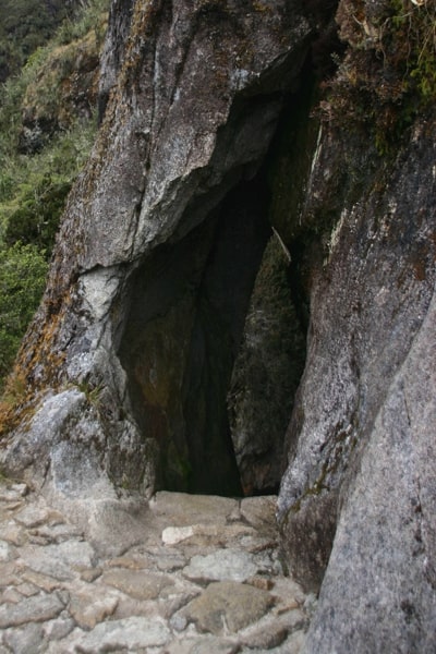
A short section of the trail passes through a tunnel carved directly into the mountainside by the Inca. This is one of the more unusual features of the trail — evidence of the engineering sophistication of the Inca road system. The tunnel is tight enough to require ducking and gives a brief sense of hiking through the mountain itself.

Phuyupatamarca — "Town Above the Clouds"

11. Phuyupatamarca — "Town Above the Clouds"

Elevation:11,812 ft (3,600m)

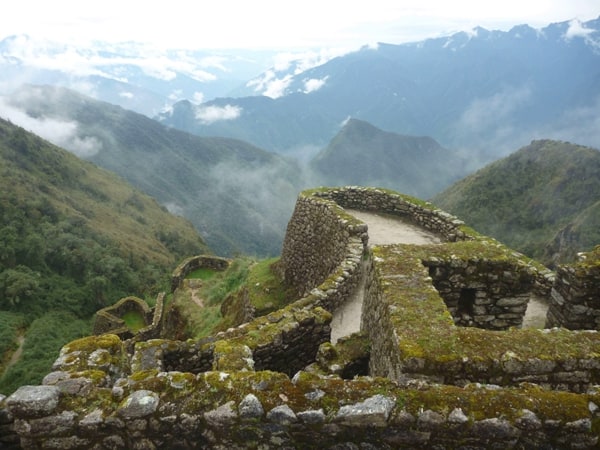
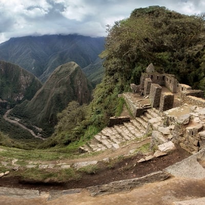
Phuyupatamarca is arguably the most spectacular ruin site on the Inca Trail. Set on a ridge above the clouds, the ruins include an elaborate series of ceremonial baths and water channels that still flow today — fed by natural springs. On clear days, Machu Picchu Mountain is visible from the site. The name means "Town Above the Clouds" in Quechua, and on misty mornings the ruins emerge dramatically from the cloud layer below.

Read the full Phuyupatamarca guide →

Original Inca Paved Trail

12. Original Inca Paved Trail

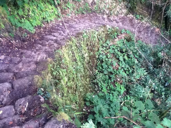
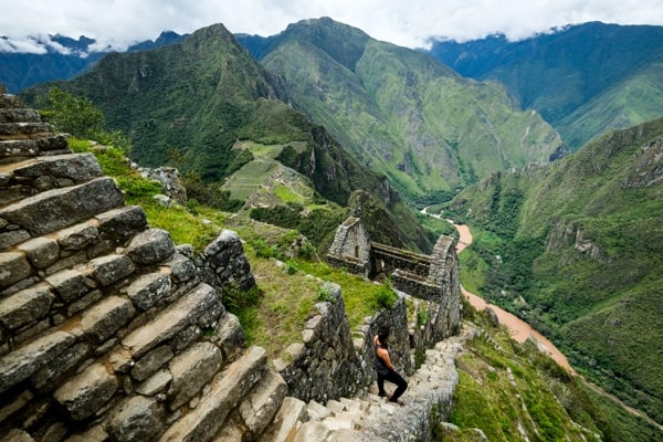
Day 3 includes sections of original Inca stonework paving — the same stones laid by Inca builders over 500 years ago. These sections are remarkably well-preserved, with fitted stone steps descending through cloud forest toward Camp 3. Hiking on original Inca road is one of the defining experiences of the classic trail.

Wiñayhuayna (Winay Wayna) — Camp 3

13. Wiñayhuayna (Winay Wayna) — Camp 3

Elevation:8,812 ft (2,685m)

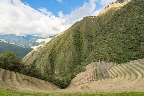
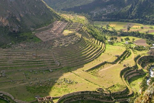
Wiñayhuayna — "Forever Young" in Quechua — is the final campsite before Machu Picchu and home to the most elaborate ruin complex on the trail. Terraced agricultural platforms cascade down the hillside alongside a ceremonial bath complex with 19 flowing water channels. The site is both a final campsite and a major archaeological site in its own right. An early 4 AM start from Camp 3 is required to reach the Sun Gate at dawn.

Read the full Wiñayhuayna guide →

Day 4 — Enter Machu Picchu

Camp 3 → Sun Gate → Citadel
Inti Punku — The Sun Gate

14. Inti Punku — The Sun Gate

Elevation:8,720 ft (2,657m)

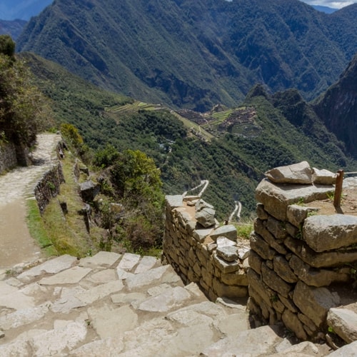
Inti Punku — the Sun Gate — is the Inca gateway to Machu Picchu, aligned to frame the rising sun on the summer solstice. Hikers leave Camp 3 in the dark (typically 3:30–4 AM) to reach the Sun Gate at sunrise. On a clear morning, the first view of Machu Picchu from the Sun Gate — far below in the valley, bathed in golden light — is the defining moment of the entire trek. From here the trail descends for 45 minutes to the citadel entrance.

Read the full Sun Gate guide →

The Final Stretch

15. The Final Stretch

After the Sun Gate, a winding stone path descends through terraces and cloud forest into Machu Picchu. This final kilometer is walked by few outside of Inca Trail permit holders — it is the original Royal Inca entrance to the citadel, the same path used by Inca pilgrims and nobility for centuries.

17 & 18. Machu Picchu

17 & 18. Machu Picchu

Elevation:8,089 ft (2,465m)

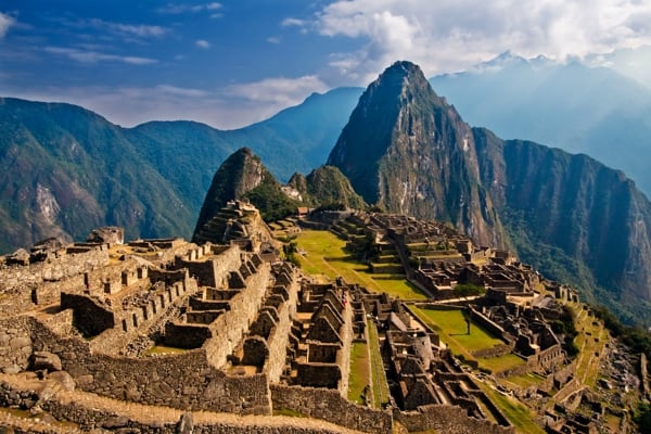
Entering Machu Picchu through the Sun Gate is the reward for 4 days of hiking. The 15th-century Inca citadel is a UNESCO World Heritage Site and one of the New Seven Wonders of the World. Inca Trail hikers typically have 3–5 hours to explore the site with their guide before buses descend to Aguas Calientes for the train back to Cusco. Key areas: the Intihuatana ritual stone, the Temple of the Sun, the Room of the Three Windows, and the agricultural terraces.

Read the full Machu Picchu guide →

Huayna Picchu

19. Huayna Picchu

Elevation:8,642 ft (2,634m)

The dramatic peak rising directly behind Machu Picchu in every iconic photo. A steep 45-minute climb from the citadel leads to the summit of Huayna Picchu, where ruins of the Temple of the Moon are found inside a cave on the far side. Only 400 permits per day are issued — separate from the Inca Trail permit. The views from the summit look down on Machu Picchu from above, a perspective unlike any other.

Read the full Huayna Picchu guide →

Ready to Book Your Inca Trail Trek?

Permits are limited to 500 trekkers per day and sell out months in advance. Book early.

GPS route data collected on-location with Garmin GPSMAP 62. Download .kmz file · How this tour was made